
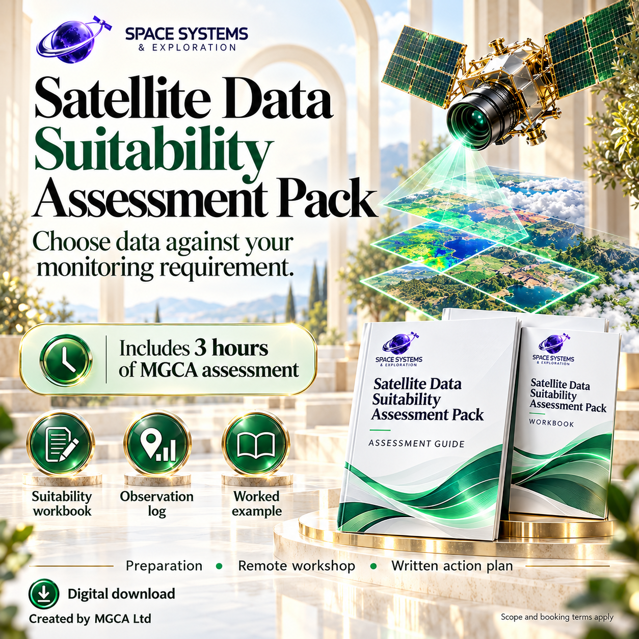


Satellite Data Suitability Assessment Pack
Choose satellite imagery around the monitoring task.
Compare candidate data using the feature you need to observe, usable observation gaps, coverage, latency and verified usage rights.
What this pack helps you do
- Define the monitoring requirements before comparing imagery.
- Record candidate evidence and usable observation history.
- Document suitability gaps and a reasoned data-selection decision.
What’s included
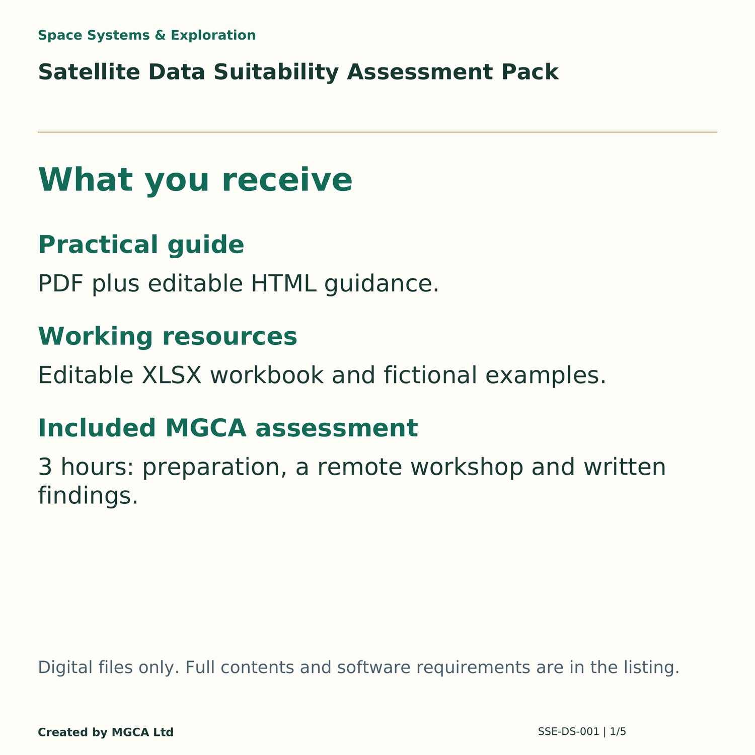
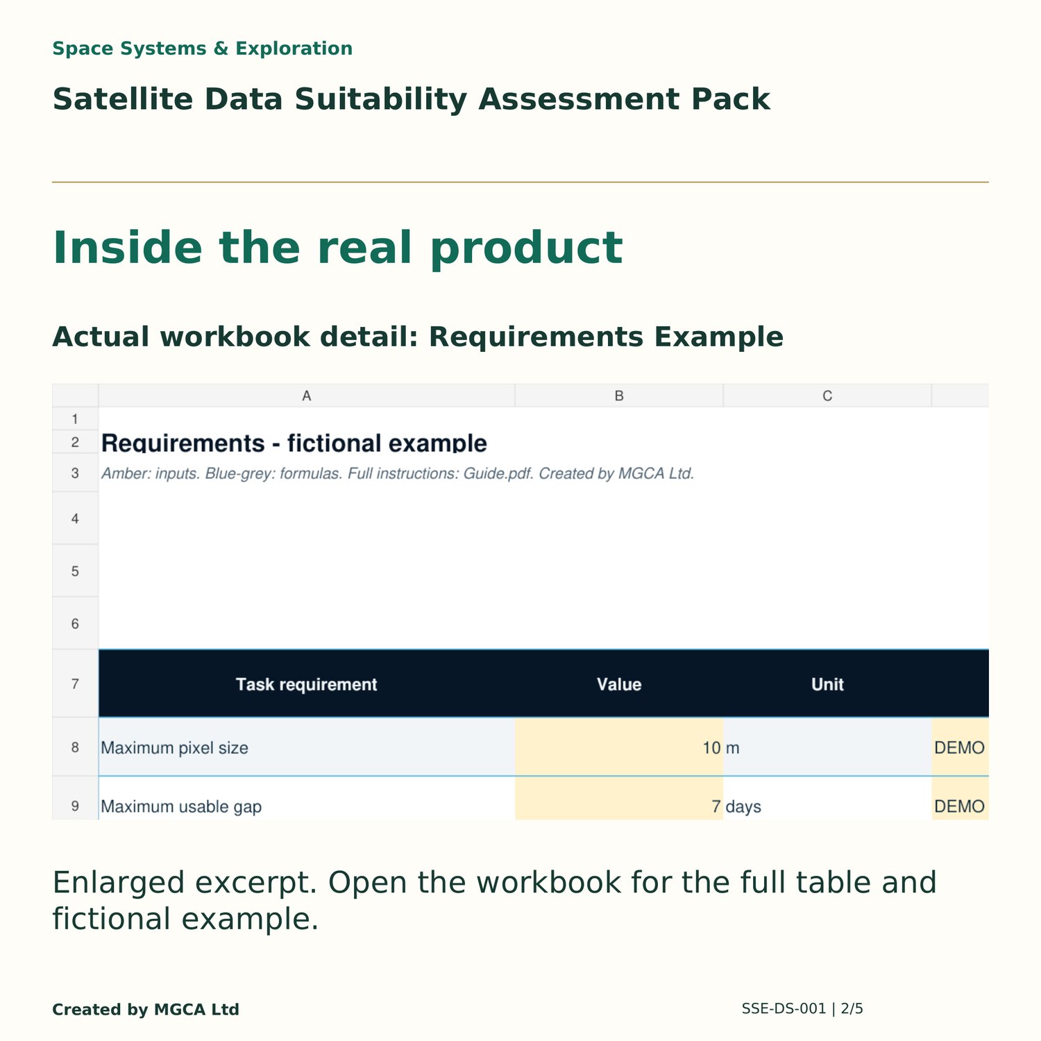
- Editable XLSX workbook with Requirements, Candidates, Observation Log, Decision sheets, clean working areas and separate fictional examples.
- Offline PDF and editable HTML guide, text decision record, quick-start instructions, licence terms and file manifest.
- Detailed working record to support the workbook review.
Digital ZIP download · Bright visual edition 0.4 · £79 including VAT.
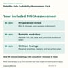
Includes 3 hours of MGCA assessment
30 minutes preparation review, one 90-minute remote workshop, and 60 minutes written findings and action planning. This is 180 consultant minutes in total.
Bring: One observation requirement, candidate dataset specifications and temporal/spatial coverage assumptions.
Receive: A suitability gap assessment and a targeted data-sampling plan.
Book through sales@mgca.co.uk with your order reference. Remote delivery in English, up to three participants, by mutual agreement. Redeem once per qualifying product licence/order; no redemption expiry. Full submission limits, eligibility and booking terms are supplied in MGCA_Assessment_Service.pdf.
Implementation, live-system changes, certification and unlimited follow-up are excluded. Further services are optional, separately scoped, priced and agreed. This assessment is additional to supplied-file defect support.
Who it’s for
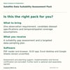
Earth-observation analysts and architects comparing imagery for a monitoring task.
Software and compatibility
Open with: Spreadsheet application and a browser.
LibreOffice native example and adverse-input tests passed on disposable copies. Microsoft Excel desktop remains unverified.
Run the worked example in your target spreadsheet application before operational use. No macros, external workbook links or paid service calls.
HTML guide works offline in a browser.
Scope and limits
- The workbook evaluates supplied evidence.
- It does not download imagery, classify cloud pixels, forecast future availability, provide a trained detector or guarantee a monitoring service.
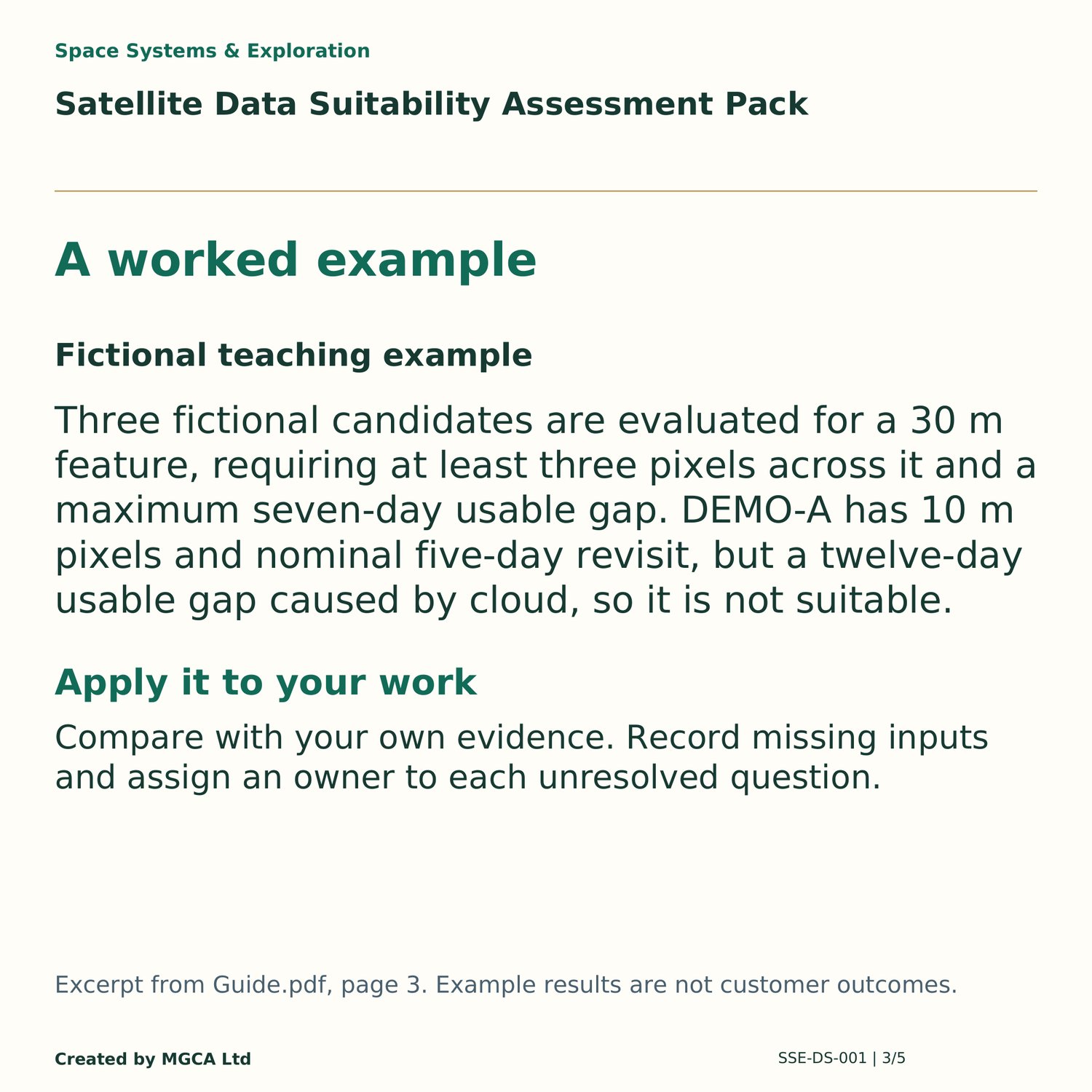
- Candidate measurements are fictional and are not specifications for a named satellite.
- Proposed page branding is provisional; the seller is MGCA Ltd.
Licence and support
Seller: MGCA Ltd
Single purchasing organisation may copy and adapt the files for its internal projects. Its contractors may use them only for that organisation.
Blank-pack resale, redistribution, sublicensing and use for other client organisations are excluded. Client-delivery licensing requires separate agreement.
File-defect support: sales@mgca.co.uk. Covers corrupt downloads, missing supplied files and defects in supplied files.
Excludes consulting, customisation, project review, deployment support, safety/security certification and legal advice. No response-time commitment or future-update entitlement.
Statutory rights preserved.
No platform subscription, customer system access or implementation service is included.
Explore the pack before buying
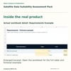
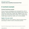
Use the Preview link above to read the PDF excerpts. Gallery cards summarise the supplied contents and re-typeset selected fictional examples.
Related packs for a different task
Earth Observation Change-detection Starter Kit
Practise a reproducible two-date change review. £99 including VAT. Sold separately.
Small Satellite Mission Trade-study Workbook
Check energy and data before choosing a platform. £79 including VAT. Sold separately.